

Personal Info
E-mail: MG1927014@smail.nju.edu.cn
Phone: 86-18851696270
Address: China, Nanjing, Qixia District, 163 Xianlin avenue, Nanjing University
Education/Work Experience
Research Assistant
Nanjing University ——Sep.2022 - June.2023
Project:Loess deposition in the middle latitudes of the Northern Hemisphere and climate-vegetation changes during the last four glacial cycles
Graduate
Nanjing University ——Sep.2019 - June.2022
Professional direction: Physical Geography, Geomorphologic precess
GPA:3.75/5
Course teaching assistant:《Sedimentology》 three times
Honor: Second-grade twice times, third-grade once
University-level Excellent League Member, Outstanding Graduate Student
Undergraduate
Huaiyin Normal University ——Sep.2015 - June.2019
Professional direction: Geographical Science(normal)
GPA:3.75/5Honor: First-grade scholarship once, Second-grade three times, third-grade three timesUniversity-level Merit student, Excellent League Member, Outstanding Graduate
Research Experience
Graduate
Thesis topic:
Published article:
●<<Burial Ages Imply Miocene Uplift of Lu Mountain in East China due to Crustal Shortening>> Frontiers in Earth Science, 2021,9. 2/6
1) Understand the theoretical basis of cosmanalyzenuclide dating.
2) Complete the diagram in the article. Topography of the study area and study site and simplified geological map all drawn by me through ArcGIS.
3) Revision and preliminary translation of the article.●<<The Chronological Sequence of the Xiashu Loess and Its Paleoclimatic Significance Based on the Relative Paleo-intensity Variation of Geomagnetic Field>>, Chinese Journal of Geophysics, 2020,5. 7/8
●<<Formation of parabolic dunes on the shore of Poyang Lake in East China. >>Geomorphology, 2022. 7/7
Master's thesis topic: Development characteristics of Knickpoints in tributaries of Panzhihua-Yibin reach of Jinsha River and their implications for the uplifting of Tibetan plateau
Main work:
1) Familiar with the operation of Arcgis and DEM data was used for digital terrain analysis.
2) Familiar with the application of a range of software to produce high-quality scientific mapping.
3) Experience with modeling. The model is completed when Matlab is the main component or ArcGIS interacts with Matlab. And a few make use of python.
4) Own the basis of fluvial geomorphology and sedimentology. Good at sediment size experiments and result analysis.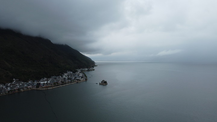
Ungraduate
Thesis topic:
<<Coupling relationship between new urbanization and ecological environment in Huaihe River Ecological Economic Belt>>
Field Work
Main work
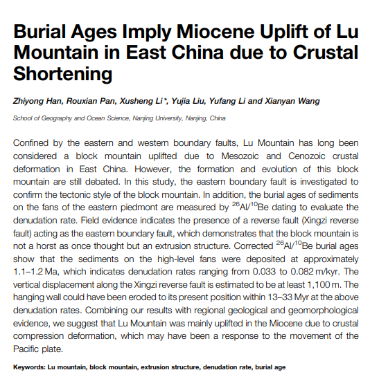
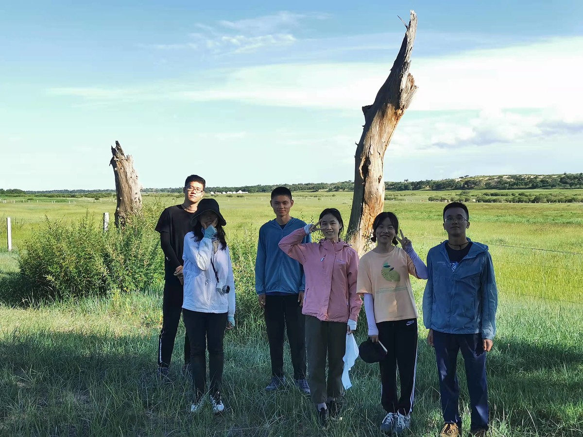
NeiMeng——2019.08
1.Sampling in HaoLuKu profile
2.Sampling in the center of the AGLN lake
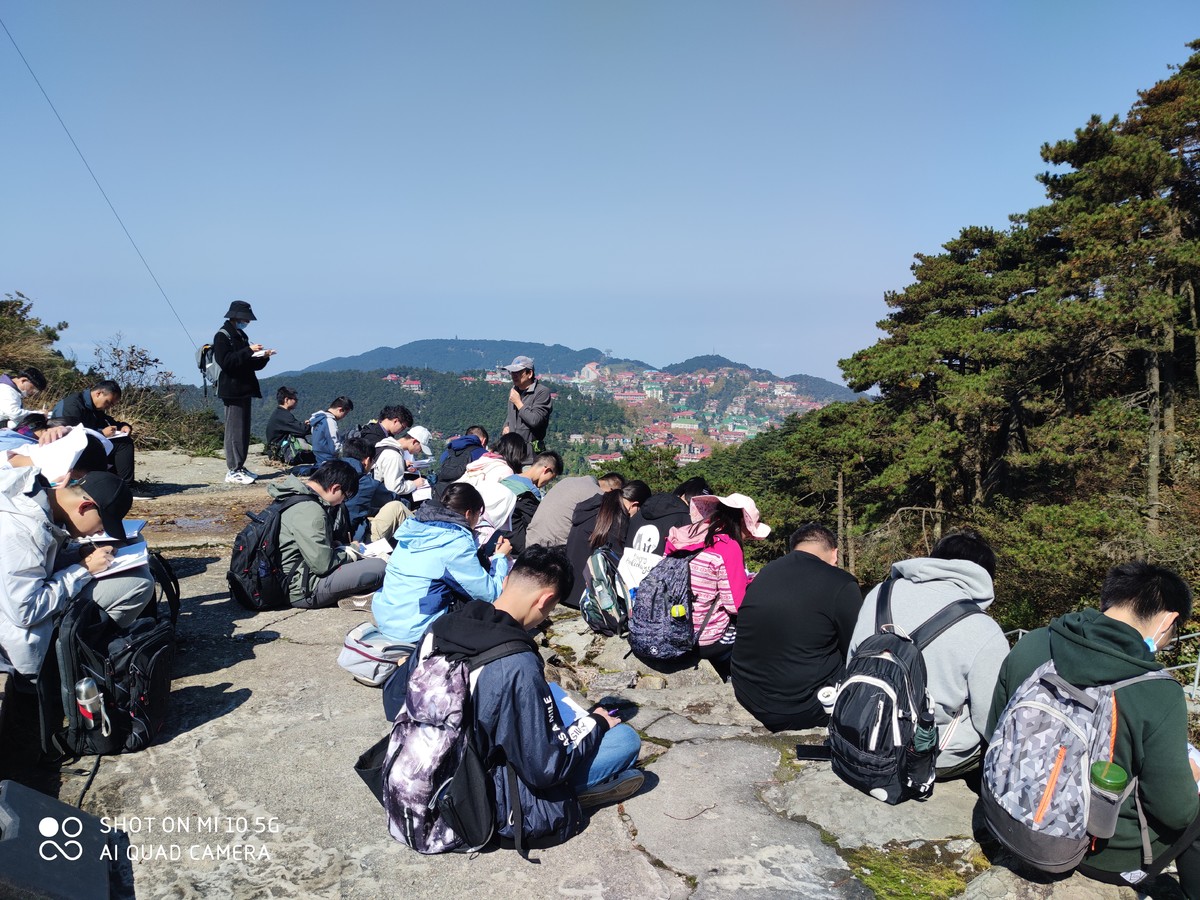
Lu Moutain——2020.10
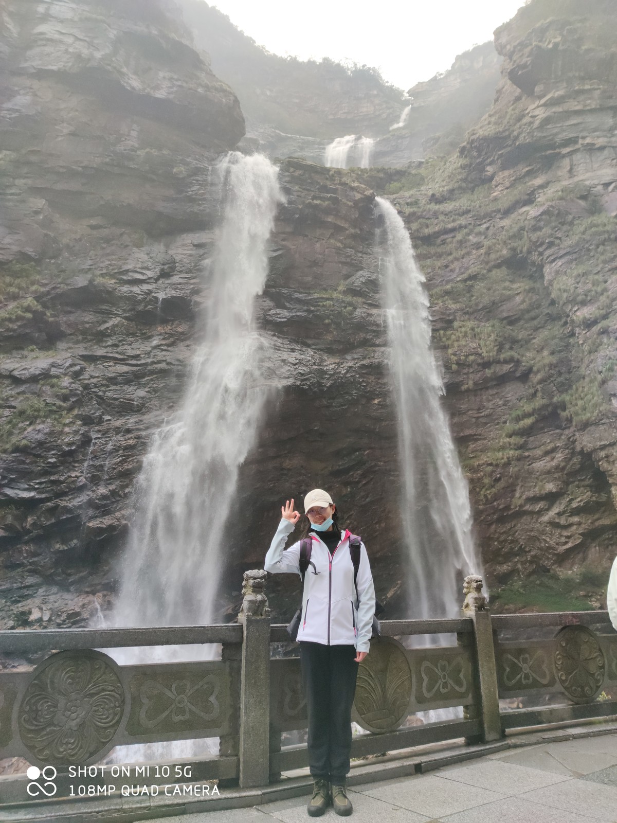
A comprehensive trip in human and physical geography, cover mountains、 woods、 rivers、 fields、 lakes、 meadows and sand.
NeiMeng——2021.07
Collect suitable sand sample to test,
Obtain the age of the lakeshore levee.
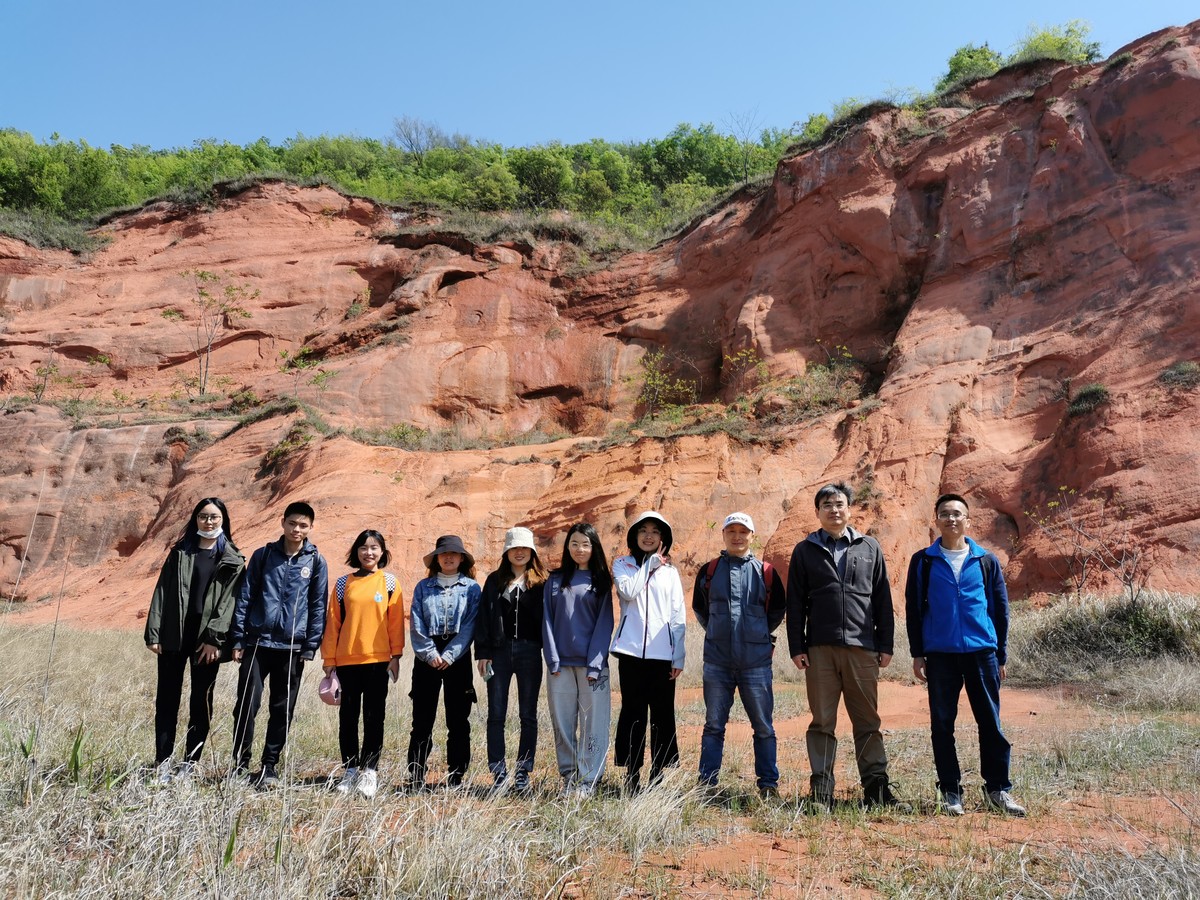
Nanjing Luhe——2021.04
Observe the sedimentary facies of Chi Moutain Formation and Luhe Formation and analyze the sedimentary environment.
Collect suitable sand to proceed particle size analysis.
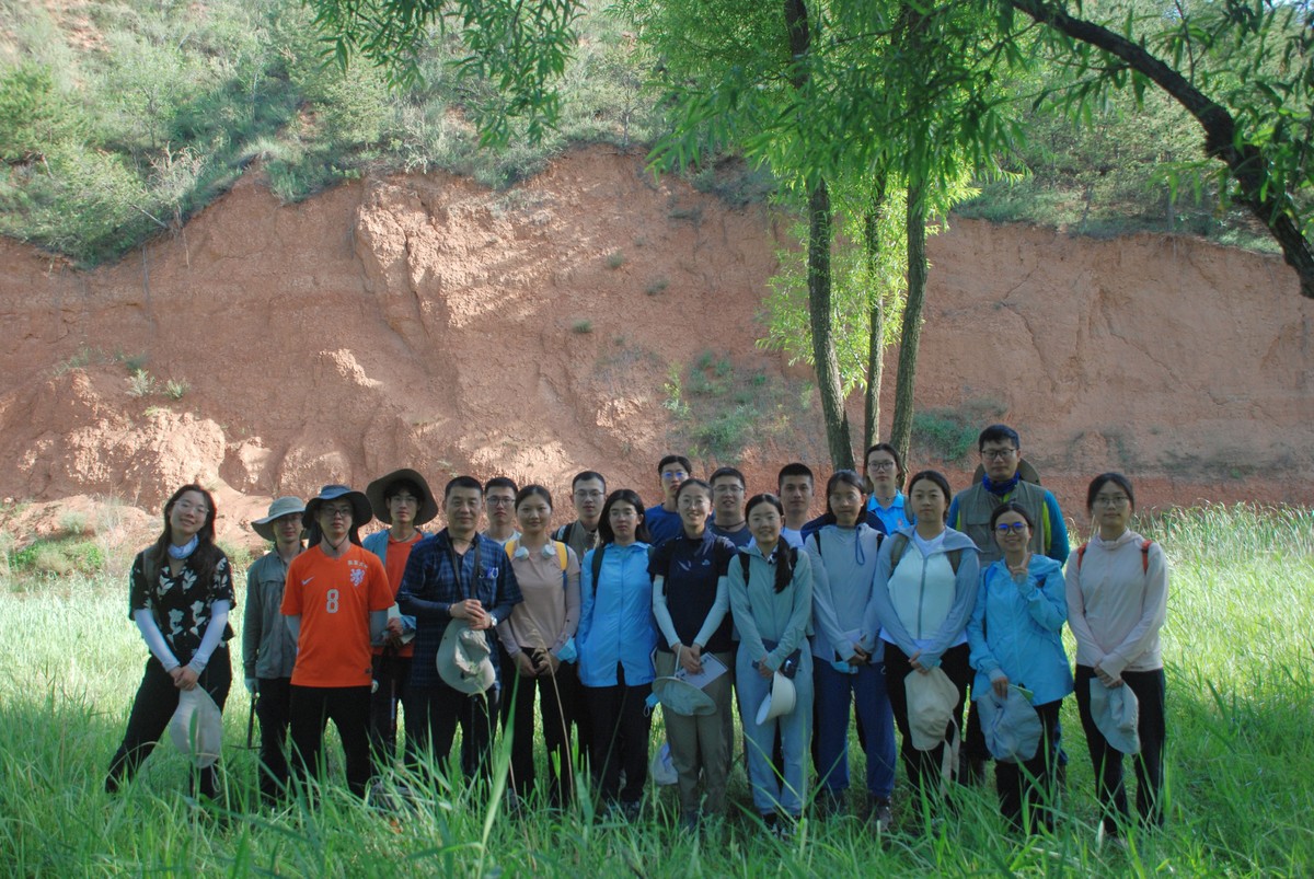
Shanxi——2022.07
Observe classic loess profiles,
Understand the climate change and monsoon evolution recorded in Weihe Basin
Skills
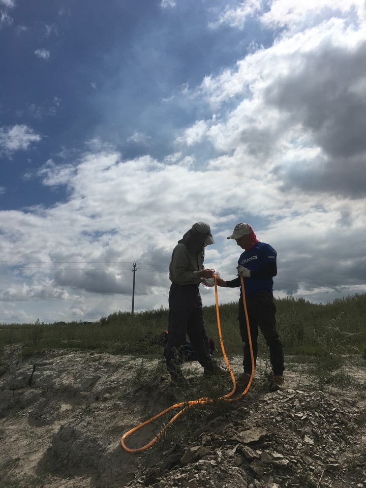
Aerial photography by drone

Shimen Reservior

Wind Erosion Sand

Dai Sea

Taban Lake Cliff

Donglin Temple

Two lake in Lu Moutain

Ruqin Lake

Jiujiang Yangtze River Bridge


